Pinus durangensis range map

Description:
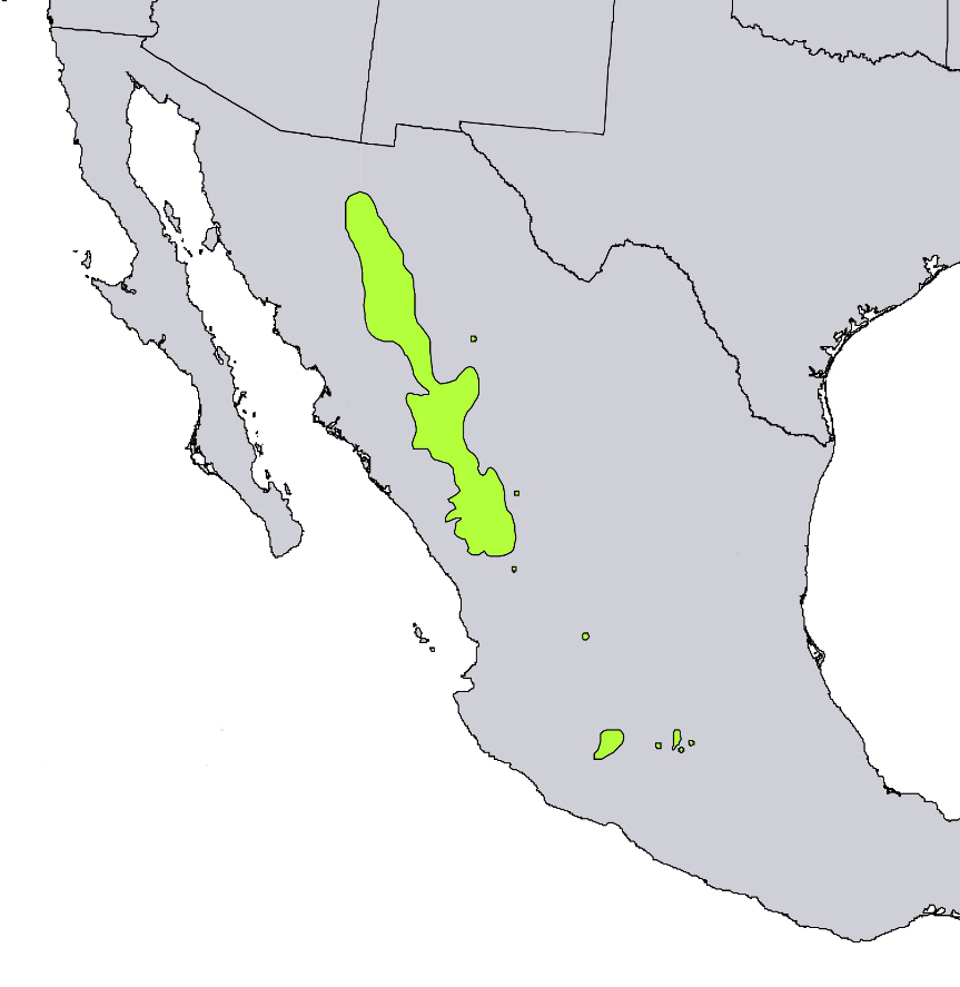
Description: English: Range map of Pinus durangensis — Durango pine. Endemic plant of Mexico. Date: 1999. Source: Digital representation of "Atlas of United States Trees" by Elbert L. Little, Jr. [1]. Author: U.S. Geological Survey.
Included On The Following Pages:
- Life
- Cellular
- Eukaryota (eukaryotes)
- Archaeplastida (plants)
- Chloroplastida
- Streptophyta
- Embryophytes
- Tracheophyta (vascular plants)
- Spermatophytes
- Gymnosperms
- Pinopsida
- Pinales (Conifers)
- Pinaceae (pines)
- Pinus (Pine)
- Pinus durangensis (Durango Pine)
This image is not featured in any collections.
Source Information
- license
- cc-licenses-publicdomain
- creator
- U.S. Geological Survey
- source
- Digital representation of "Atlas of United States Trees" by Elbert L. Little, Jr. [1]
- original
- original media file
- visit source
- partner site
- Wikimedia Commons
- ID